Posts

Showing posts with the label masters in geoinformatics

SIG Unleashed: Elevating Spatial Intelligence in Geoinformatics Studies
Image
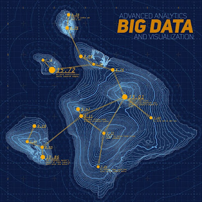
Experts in geoinformatics are becoming more in-demand. This is widely because of the fact that geospatial sciences fields are continuing to develop. The Symbiosis Institute of Geoinformatics is redefining the field's educational landscape (SIG). This esteemed university provides specialized MSc Geoinformatics programs. India's Top MSc Geoinformatics Colleges: SIG Setting the Standard Indian Colleges of Geoinformatics: An Increasing Need The future workforce in geoinformatics is being shaped by MSc Geoinformatics colleges in India . This is vital as the demand for qualified professionals in the field grows. Also Read :  Uncovering the M.Sc. Data Science Program in India The Unique Position of SIG Among MSc Geoinformatics colleges in India , SIG stands out for its dedication to academic excellence. Specially for its all-encompassing approach to geospatial education. The institute’s masters in Geoinformatics is a specialized program that goes above and beyond...
Key Considerations Before Enrolling in a Geoinformatics Course

Image
Geoinformatics is a field that combines the power of information technology with the science of geography, geology, and other earth-related disciplines. It is a rapidly growing and evolving domain that offers exciting opportunities for those who are interested in spatial data analysis, mapping, remote sensing, and geographic information systems (GIS). If you are considering pursuing a geoinformatics course, here are some things you need to know before enrolling. What are the benefits of studying geoinformatics? Studying geoinformatics can equip you with the skills and knowledge to apply spatial data and technologies to various domains such as urban planning, environmental management, disaster management, natural resource exploration, agriculture, forestry, health, tourism, and more. You can also learn how to use cutting-edge tools and software such as ArcGIS, QGIS, ERDAS Imagine, ENVI, Google Earth, and Python to collect, process, analyse, visualise, and communicate geospatial informat...